From the Night Shift – Midnight to 8:00 a.m.
When exploring the deep ocean it may not be possible to know what lies ahead in the blackness of the depths, but if a pinnacle rises up suddenly from the featureless bottom, it is a moment to celebrate. Suddenly there it is, a new discovery, with ship and crew safely observing from 3,000 feet above.
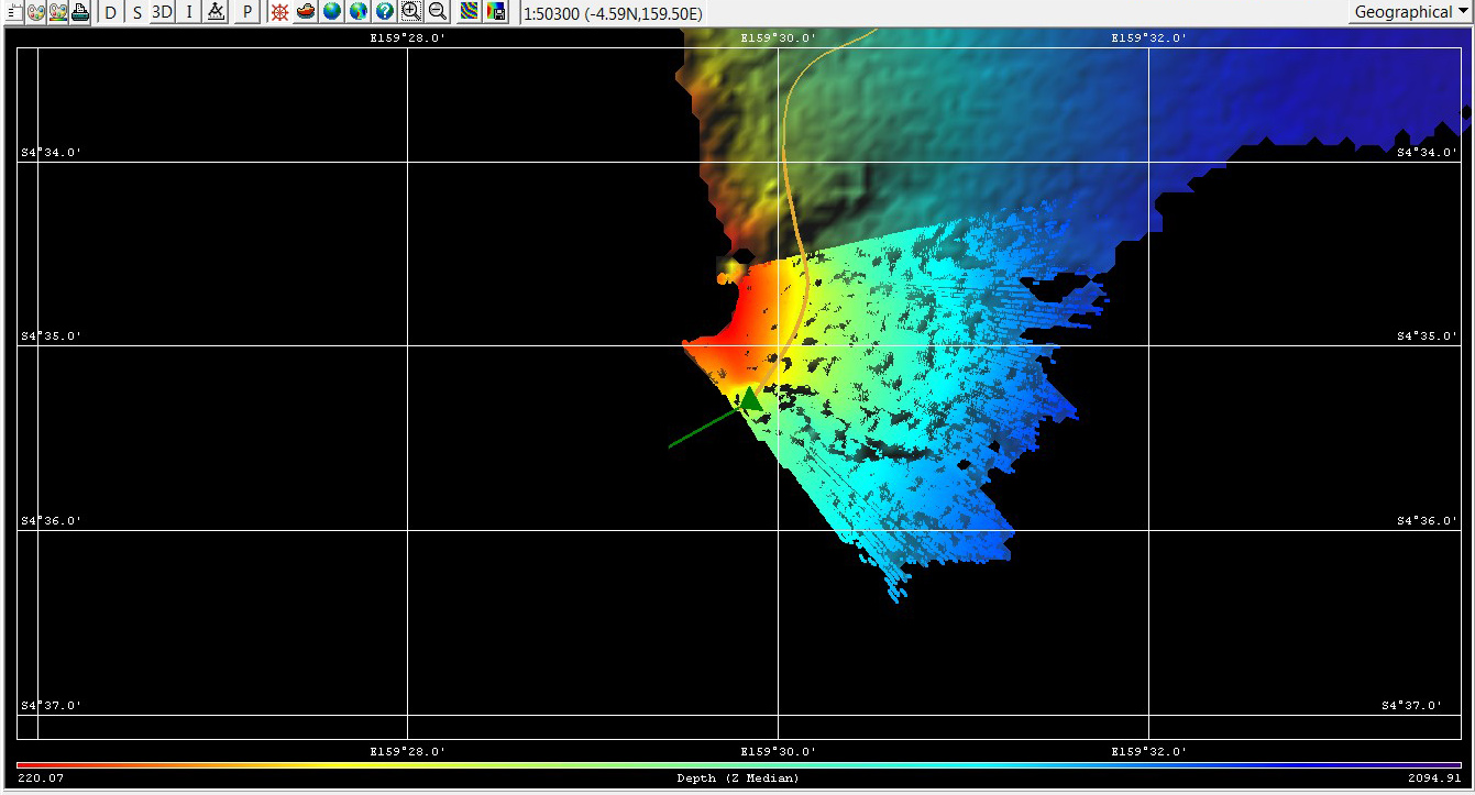
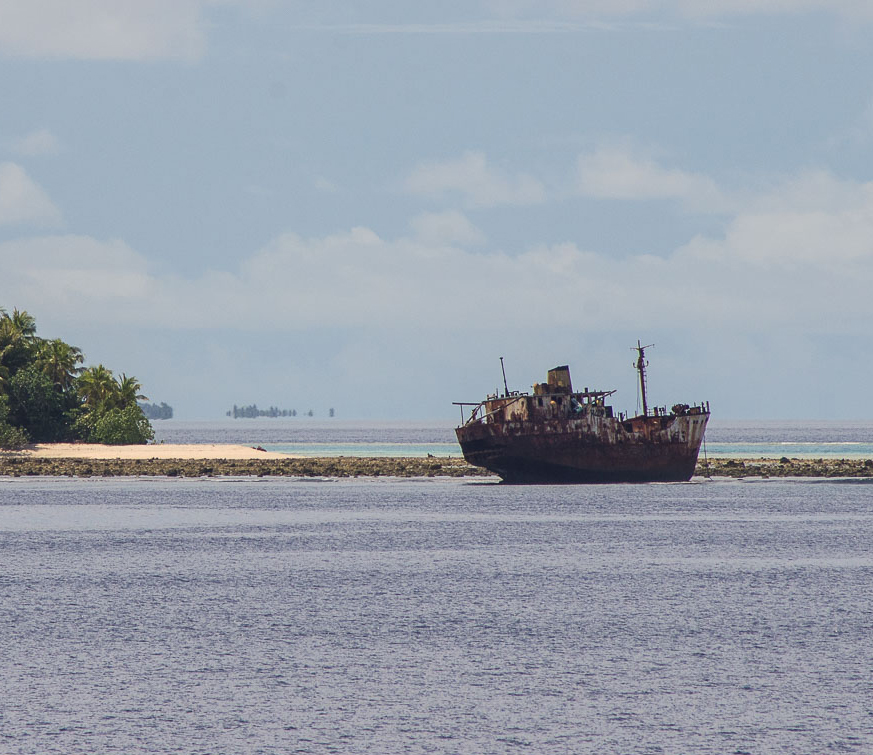
Mapping the mysterious shallows in the dark, however, is something else. In the continuing effort to locate the origins of Kroenke Canyon and to provide better tsunami planning, Falkorhas been mapping the slopes of the Ontong Java and Nukumanu Atolls. The charts for these atolls are old and undoubtedly not entirely accurate. The ship is outlining the atolls from depths of 1000ft to 7000ft.
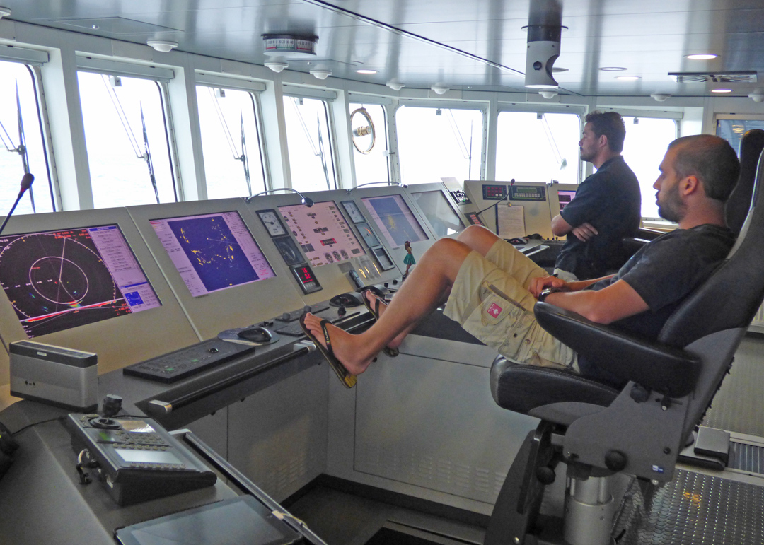
When Falkor first approached the unknown shallow atolls, the Captain and Chief Officer were at the helm watching the multibeam and navigation instruments very carefully. The bridge was quiet except for Chopin playing on the speakers. The atoll passed steadily by on our starboard side and the first swath of mapping went successfully. Proving the limited information of the nautical charts, one surprise reef appeared that had not shown on any existing chart, though it was still 1000ft deep. This is why a careful watch is so important. As the first run completes, the Captain continues with Falkor back to the canyon to map the deeper regions.
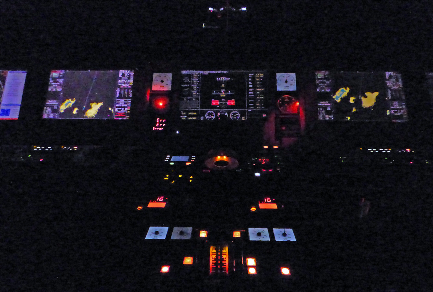
It is 4 A.M. in the morning and we are now back in shallow waters in the dark night. There are no lights showing on this side of Nukumanu Atoll. The only light comes from Falkor’s mast illuminating the ship’s radar and some stars straight up in the sky. There must be clouds on the horizon, as there is no evidence of the outline of the atoll.
Up on the bridge, a curtain separates the entry area from the helm so that extra light is kept to a minimum and the night crew’s eyes can stay adjusted to the dark. The glow of the navigation, electronics and ship steering and propulstion systems highlight their complexity. Thanks to Falkor’s sophisticated multibeam, radar and other systems, the ship can map even in the darkness.